 Ridgeflow
Tawa Loop Walk
Manawatū-Whanganui · New Zealand
Distance3.3 km (2 mi)along the line
Climb134 m (440 ft)185 m (607 ft) down
High point252 m (827 ft)lowest 67 m (220 ft)
DOC's time1 hr 40 minas DOC publishes it
Walking time1 h 3 minone way, moving, our estimate
GradeEasyDOC
Elevation profile
Map
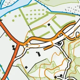
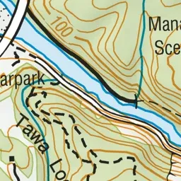
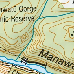
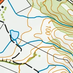
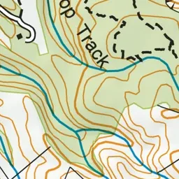
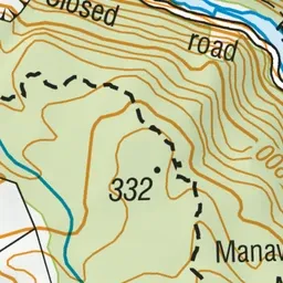
Pink: the track.
About the track
This track passes through native podocarp broadleaved forest with views over Palmerston North and Ashhurst.
Tawa Loop Walk on DOC's website, for track alerts, bookings and closures.