 Ridgeflow
Tawarau Forest tramping tracks
Waikato · New Zealand
Distance23.9 km (14.8 mi)all 5 sections
Climb485 m (1,591 ft)732 m (2,402 ft) down
High point359 m (1,178 ft)lowest 60 m (197 ft)
DOC's timeVarious from 2 - 7 hras DOC publishes it
GradeAdvancedDOC
This track is mapped in 5 separate sections, so there is no single profile or walking time. Climb is added up section by section.
Map
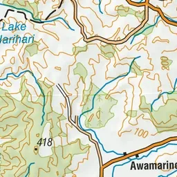
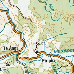
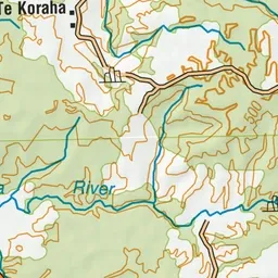
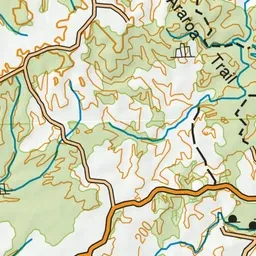
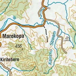
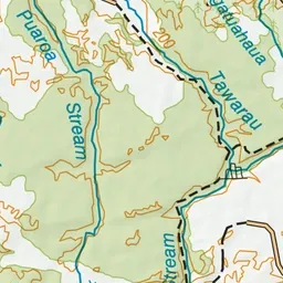
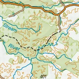
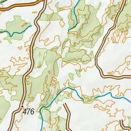
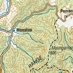
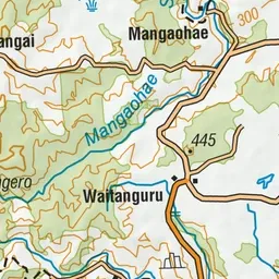
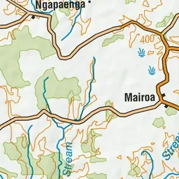
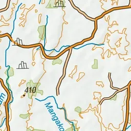
Pink: the track.
About the track
The limestone features and native vegetation in the Tawarau Forest can best be seen by walking on one of the forest's scenic tracks.
Tawarau Forest tramping tracks on DOC's website, for track alerts, bookings and closures.