 Ridgeflow
Te Ara Pātaka/Summit Walkway
Canterbury · New Zealand
Distance27.7 km (17.2 mi)along the line
Climb1,148 m (3,766 ft)1,552 m (5,092 ft) down
High point907 m (2,976 ft)lowest 40 m (131 ft)
DOC's time2-3 daysas DOC publishes it
Walking time8 h 50 minone way, moving, our estimate
GradeIntermediate, AdvancedDOC
Elevation profile
Map
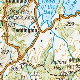
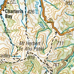
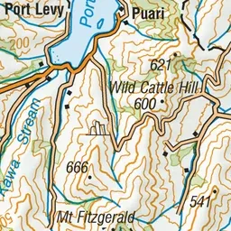
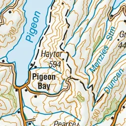
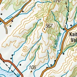
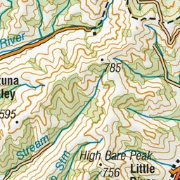
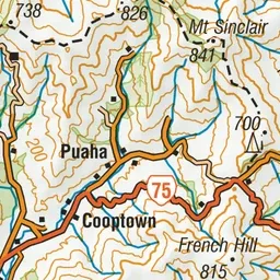
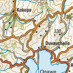
Pink: the track. Green dot: the start. Orange: huts.
About the track
Enjoy magnificent views over Banks Peninsula, the Canterbury plains, Southern Alps and Pacific Ocean on this track, which is about an hour's drive from Christchurch.
Huts on or near the track
- Packhorse Hut (456 m, bookable)
Te Ara Pātaka/Summit Walkway on DOC's website, for track alerts, bookings and closures.