 Ridgeflow
Te Henga Walkway
Auckland · New Zealand
Distance9.6 km (5.9 mi)along the line
Climb523 m (1,716 ft)341 m (1,119 ft) down
High point200 m (656 ft)lowest 18 m (59 ft)
DOC's time45 min to cliff viewpoint, 65 min to Tirikohua Poias DOC publishes it
Walking time3 h 16 minone way, moving, our estimate
GradeIntermediateDOC
Elevation profile
Map
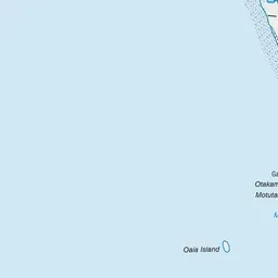
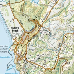
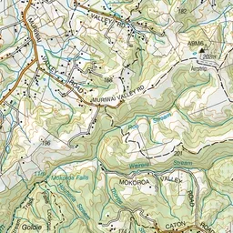

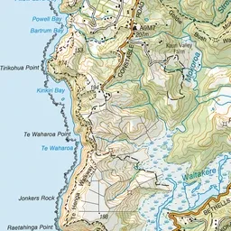
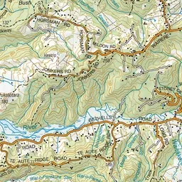

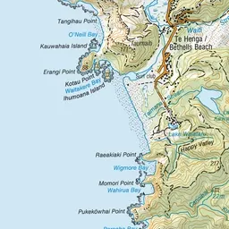
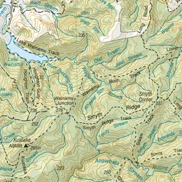
Pink: the track. Green dot: the start.
About the track
A short walk just south of Muriwai Beach to a cliff top viewing point with stunning views of Auckland's wild west coast.
Te Henga Walkway on DOC's website, for track alerts, bookings and closures.