 Ridgeflow
Te Kauri Park Circuit Walk
Waikato · New Zealand
Distance0.9 km (0.6 mi)all 2 sections
Climb98 m (322 ft)91 m (299 ft) down
High point178 m (584 ft)lowest 66 m (217 ft)
DOC's time1 hr 30 minas DOC publishes it
GradeEasiestDOC
This track is mapped in 2 separate sections, so there is no single profile or walking time. Climb is added up section by section.
Map
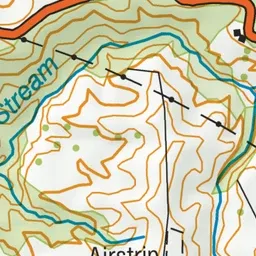
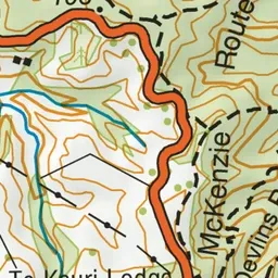
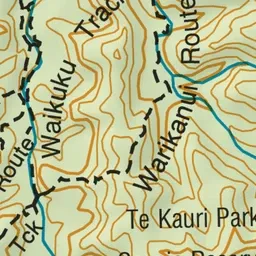
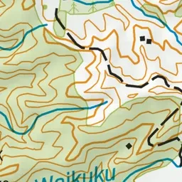
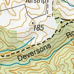
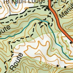
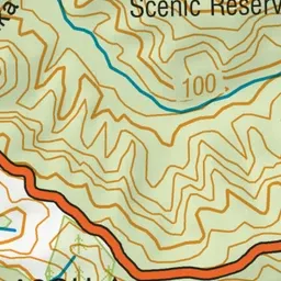
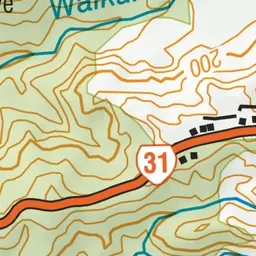
Pink: the track.
About the track
Walk alongside the attractive Waikuku Stream then climb up to good views of the surrounding countryside.
Te Kauri Park Circuit Walk on DOC's website, for track alerts, bookings and closures.