 Ridgeflow
Te Kiekie Route
Canterbury · New Zealand
Distance2.4 km (1.5 mi)all 15 sections
Climb17 m (56 ft)509 m (1,670 ft) down
High point1,686 m (5,531 ft)lowest 1,176 m (3,858 ft)
DOC's time2 hras DOC publishes it
This track is mapped in 15 separate sections, so there is no single profile or walking time. Climb is added up section by section.
Map
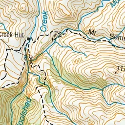
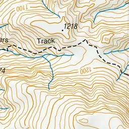
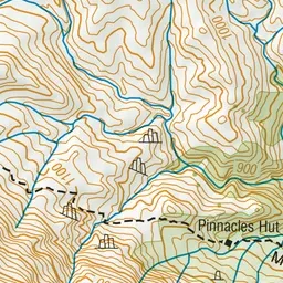
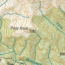
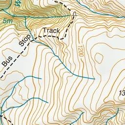
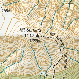
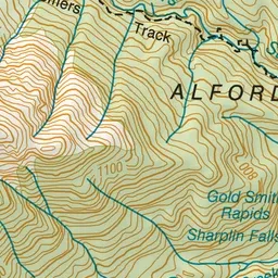
Pink: the track.
About the track
This route links the summit of Mount Somers with the Mount Somers Track on the north side of the mountain.
Te Kiekie Route on DOC's website, for track alerts, bookings and closures.