 Ridgeflow
Te Pua-a-Tāne Circuit
Bay of Plenty · New Zealand
Distance78.8 km (49 mi)all 8 sections
Climb3,094 m (10,151 ft)3,152 m (10,341 ft) down
High point1,174 m (3,852 ft)lowest 380 m (1,247 ft)
DOC's time5 daysas DOC publishes it
GradeAdvancedDOC
This track is mapped in 8 separate sections, so there is no single profile or walking time. Climb is added up section by section.
Map
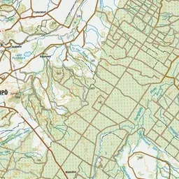
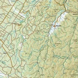
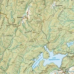
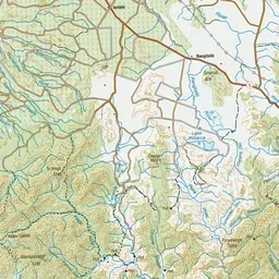
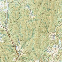
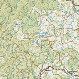
Pink: the track. Orange: huts. Blue: campsites.
About the track
The Te Pua-a-Tāne Circuit is the ultimate Whirinaki challenge for the more adventurous.
Huts on or near the track
- Upper Te Hoe Hut (762 m)
- Central Whirinaki Hut (600 m)
- Moerangi Hut (665 m)
- Upper Whirinaki Hut (694 m)
- Rogers Hut (Te Wairoa) (560 m)
- Mangakahika Hut (756 m)
Campsites
- Verns Camp (464 m)
Te Pua-a-Tāne Circuit on DOC's website, for track alerts, bookings and closures.