 Ridgeflow
Te Puia Hut Track and Mangatainoka Hot Springs
Hawke's Bay · New Zealand
Distance8.8 km (5.5 mi)along the line
Climb370 m (1,214 ft)337 m (1,106 ft) down
High point571 m (1,873 ft)lowest 460 m (1,509 ft)
DOC's time1–2 daysas DOC publishes it
Walking time2 h 49 minone way, moving, our estimate
GradeIntermediateDOC
Elevation profile
Map
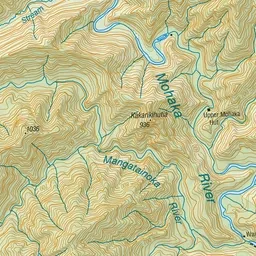
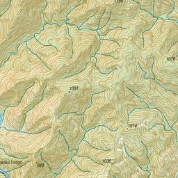
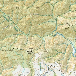
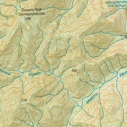
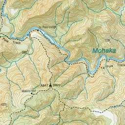
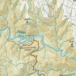
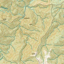
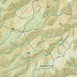
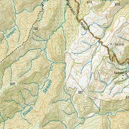
Pink: the track. Green dot: the start. Orange: huts. Blue: campsites.
About the track
Walk to Te Puia Hut for an easy overnight hike, or continue on to hot springs surrounded by bush and with river views.
Huts on or near the track
- Te Puia Hut (Lodge) (501 m)
Campsites
- Mangatutu Hot Springs Campsite (491 m)
- Mangatainoka Campsite (521 m)
Te Puia Hut Track and Mangatainoka Hot Springs on DOC's website, for track alerts, bookings and closures.