 Ridgeflow
Te Puru Track
Waikato · New Zealand
Distance5.5 km (3.4 mi)along the line
Climb697 m (2,287 ft)64 m (210 ft) down
High point717 m (2,352 ft)lowest 41 m (135 ft)
Walking time2 h 32 minone way, moving, our estimate
GradeIntermediateDOC
Elevation profile
Map
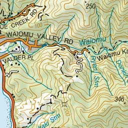
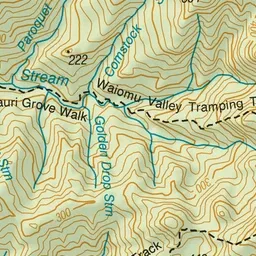
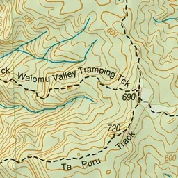
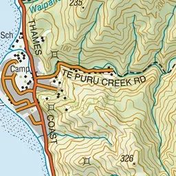
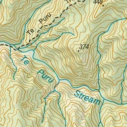
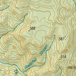
Pink: the track. Green dot: the start.
About the track
Te Puru Track joins with Tapu summit to Crosbies Hut Track to take you to Crosbies Hut.
Te Puru Track on DOC's website, for track alerts, bookings and closures.