 Ridgeflow
Te Rereatukahia Hut Track
Bay of Plenty · New Zealand
Distance9 km (5.6 mi)all 3 sections
Climb617 m (2,024 ft)157 m (515 ft) down
High point641 m (2,103 ft)lowest 166 m (545 ft)
DOC's time3–6 hrs one wayas DOC publishes it
GradeAdvancedDOC
This track is mapped in 3 separate sections, so there is no single profile or walking time. Climb is added up section by section.
Map
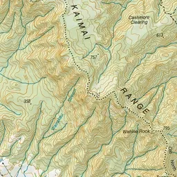
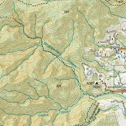
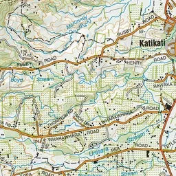
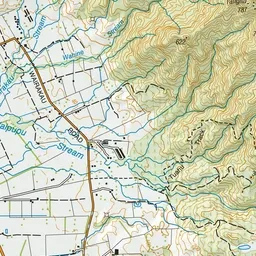
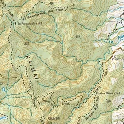
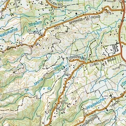
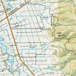
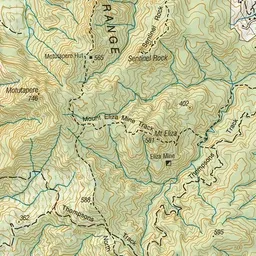
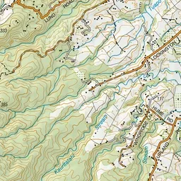
Pink: the track. Orange: huts.
About the track
Grass clearings and an old fence are a legacy of days gone by when this section was highly modified by burning and farming.
Huts on or near the track
- Te Rereatukahia Hut (624 m, bookable)
Te Rereatukahia Hut Track on DOC's website, for track alerts, bookings and closures.