 Ridgeflow
Te Waiti Route
Bay of Plenty · New Zealand
Distance17.3 km (10.8 mi)along the line
Climb675 m (2,215 ft)775 m (2,543 ft) down
High point570 m (1,870 ft)lowest 101 m (331 ft)
DOC's time6 - 8 hr one wayas DOC publishes it
Walking time5 h 27 minone way, moving, our estimate
GradeExpertDOC
Elevation profile
Map
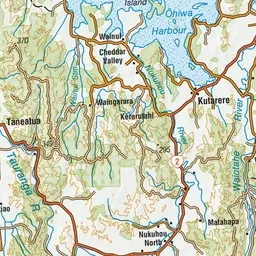
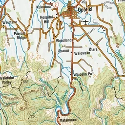
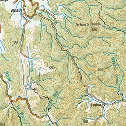
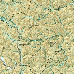
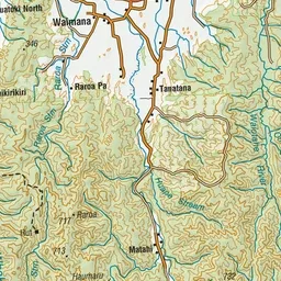
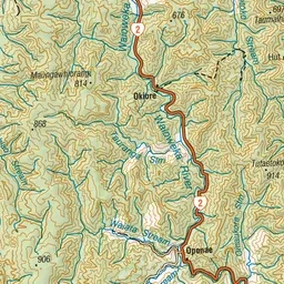
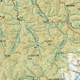
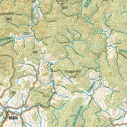
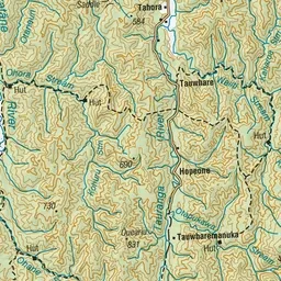
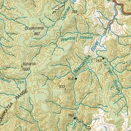
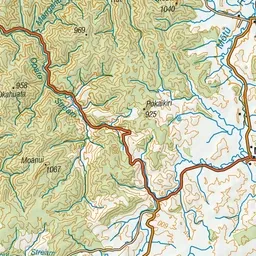
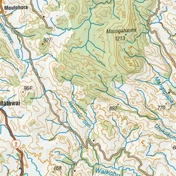
Pink: the track. Green dot: the start. Orange: huts. Blue: campsites.
About the track
This route leads through the middle of the Urutawa Conservation Area. As it is rough and gorgy in places it is recommended for experienced hikers only.
Huts on or near the track
- Te Waiti Hut (104 m)
Campsites
- Manganuku Campsite (199 m)
Te Waiti Route on DOC's website, for track alerts, bookings and closures.