 Ridgeflow
Tenahaun Conservation Area tramping tracks
Canterbury · New Zealand
Distance13.5 km (8.4 mi)all 5 sections
Climb196 m (643 ft)367 m (1,204 ft) down
High point633 m (2,077 ft)lowest 379 m (1,243 ft)
GradeAdvancedDOC
This track is mapped in 5 separate sections, so there is no single profile or walking time. Climb is added up section by section.
Map
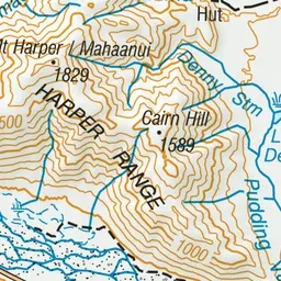
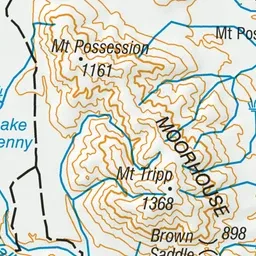
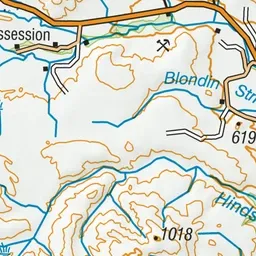
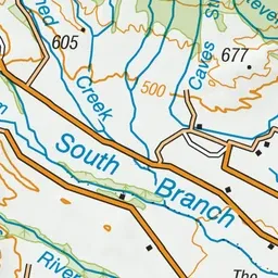
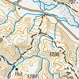
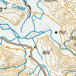
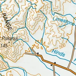
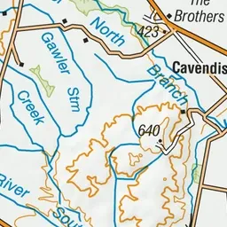
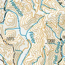
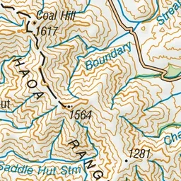
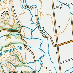
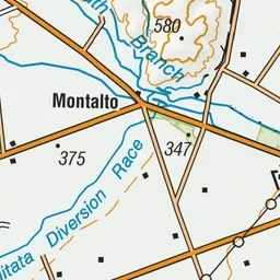
Pink: the track.
About the track
The Tenahaun Conservation Area includes walks in the Moorhouse Range and Rangitata Gorge. The Moorhouse Range can be mountain biked along the easement only.
Tenahaun Conservation Area tramping tracks on DOC's website, for track alerts, bookings and closures.