 Ridgeflow
The Chasm Walk
Southland · New Zealand
Distance0.5 km (0.3 mi)along the line
Climb28 m (92 ft)15 m (49 ft) down
High point236 m (774 ft)lowest 208 m (682 ft)
DOC's time20 minas DOC publishes it
Walking time10 minone way, moving, our estimate
GradeEasiestDOC
Elevation profile
Map
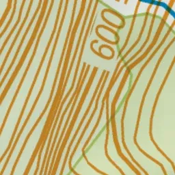
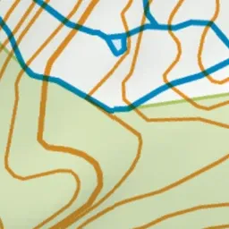
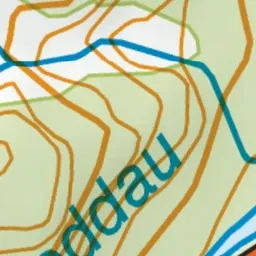
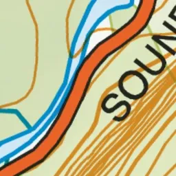
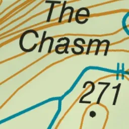
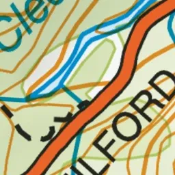
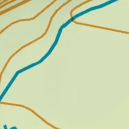
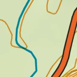
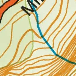
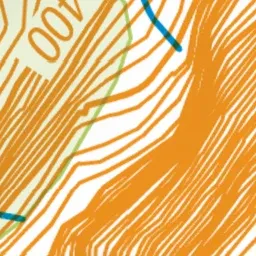
Pink: the track. Green dot: the start.
About the track
This short walk passes through native bush and ends at the edge of the Cleddau River with views of flowing water over and through the water-sculpted rock formations.
The Chasm Walk on DOC's website, for track alerts, bookings and closures.