 Ridgeflow
The Old Ghost Road
West Coast · New Zealand
Distance75.3 km (46.8 mi)along the line
Climb2,619 m (8,593 ft)2,674 m (8,773 ft) down
High point1,328 m (4,357 ft)lowest 41 m (135 ft)
DOC's time4 - 5 daysas DOC publishes it
Walking time23 h 11 minone way, moving, our estimate
GradeAdvancedDOC
Elevation profile
Map

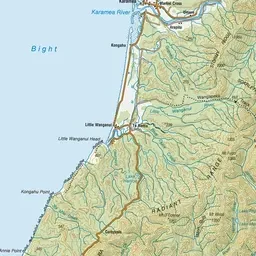
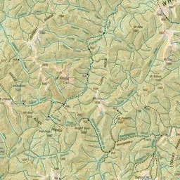
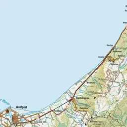
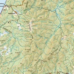
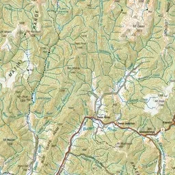
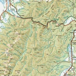
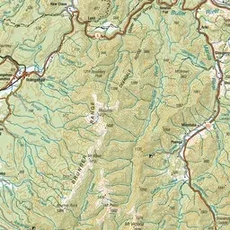
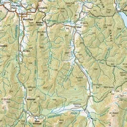
Pink: the track. Green dot: the start. Orange: huts. Blue: campsites.
About the track
This old gold miners' road is being revived as a hiking and mountain biking track. It traverses native forests, tussock tops, river flats and valleys with stunning views of the magnificent Mōkihinui Gorge and surrounds.
Huts on or near the track
- Specimen Point Hut (116 m, bookable)
- Stern Valley Hut (399 m, bookable)
- Goat Creek Hut (161 m)
- Mōkihinui Forks Hut (133 m)
- Ghost Lake Hut (1203 m, bookable)
- Lyell Saddle Hut (870 m, bookable)
Campsites
- Lyell Campsite (109 m)
The Old Ghost Road on DOC's website, for track alerts, bookings and closures.