 Ridgeflow
The Sisters Track
Otago · New Zealand
Distance4.1 km (2.5 mi)along the line
Climb164 m (538 ft)36 m (118 ft) down
High point1,402 m (4,600 ft)lowest 1,262 m (4,140 ft)
DOC's time1 hr 30 min one wayas DOC publishes it
Walking time1 h 17 minone way, moving, our estimate
GradeAdvancedDOC
Elevation profile
Map
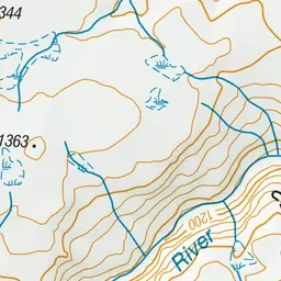
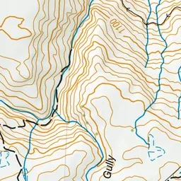
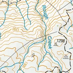
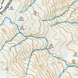
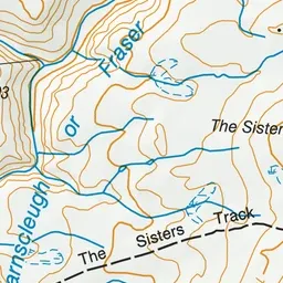
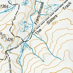
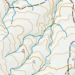
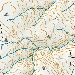
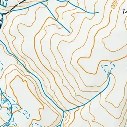
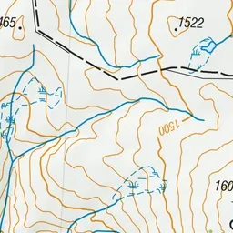
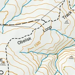
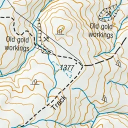
Pink: the track. Green dot: the start.
About the track
Hike through herb fields and snow tussock while enjoying great views of the Alexandra basin, Old Woman Range and The Remarkables Mountain range.
The Sisters Track on DOC's website, for track alerts, bookings and closures.