 Ridgeflow
Tirohanga Track
Waikato · New Zealand
Distance5.4 km (3.3 mi)along the line
Climb674 m (2,211 ft)128 m (420 ft) down
High point942 m (3,091 ft)lowest 349 m (1,145 ft)
DOC's time3–5 hr one wayas DOC publishes it
Walking time2 h 28 minone way, moving, our estimate
GradeAdvancedDOC
Elevation profile
Map
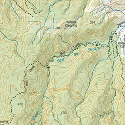
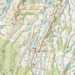
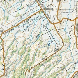
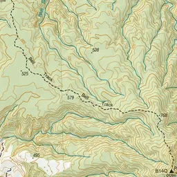
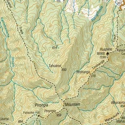
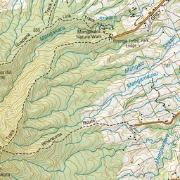
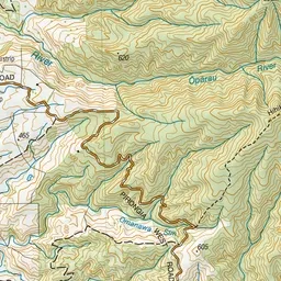
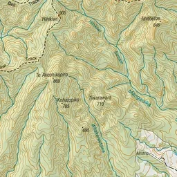
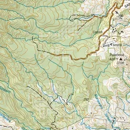
Pink: the track. Orange: huts. Blue: campsites.
About the track
Walk up to Pāhautea Hut and Campsite via Mount Pirongia summit from where you might see Mount Taranaki or Mount Ruapehu on a clear day.
Huts on or near the track
- Pāhautea Hut (897 m, bookable)
Campsites
- Pahautea Hut Campsite (898 m)
Tirohanga Track on DOC's website, for track alerts, bookings and closures.