 Ridgeflow
Toaroha, Hokitika, Lower Whitcombe Track
West Coast · New Zealand
Distance43.5 km (27.1 mi)all 2 sections
Climb2,448 m (8,031 ft)2,460 m (8,071 ft) down
High point1,310 m (4,298 ft)lowest 99 m (325 ft)
DOC's time4 - 5 daysas DOC publishes it
GradeAdvanced, ExpertDOC
This track is mapped in 2 separate sections, so there is no single profile or walking time. Climb is added up section by section.
Map

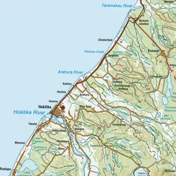
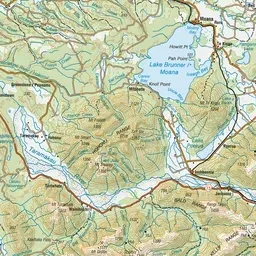
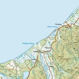
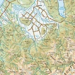
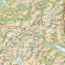
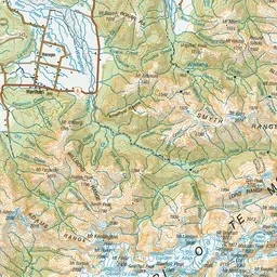
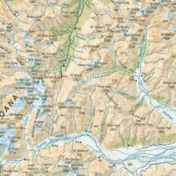
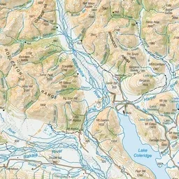
Pink: the track. Orange: huts.
About the track
This route traverses rugged river valleys and crosses two alpine saddles. The alpine sections demand experience and good route finding skills in other than fine weather conditions.
Huts on or near the track
- Top Toaroha Hut (863 m)
- Historic Cedar Flat Hut (439 m)
- Cedar Flat Hut (439 m)
- Frew Saddle Bivvy (1286 m)
- Poet Hut (579 m)
- Toaroha Saddle Bivvy (1225 m)
- Bluff Hut (939 m)
- Frew Hut (220 m)
- Rapid Creek Hut (120 m)
Toaroha, Hokitika, Lower Whitcombe Track on DOC's website, for track alerts, bookings and closures.