 Ridgeflow
Tokatea Lookout Walking Track
Waikato · New Zealand
Distance0.3 km (0.2 mi)along the line
Climb59 m (194 ft)0 m (0 ft) down
High point459 m (1,506 ft)lowest 400 m (1,312 ft)
DOC's time30 minas DOC publishes it
Walking time11 minone way, moving, our estimate
GradeEasyDOC
Elevation profile
Map

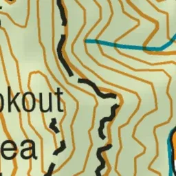
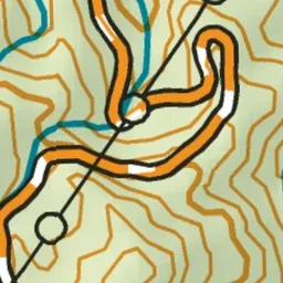
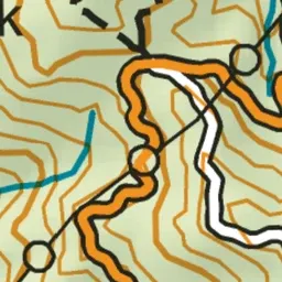
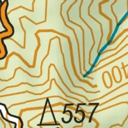
Pink: the track. Green dot: the start.
About the track
A short, steep track from the summit of Kennedy Bay Road, Coromandel Peninsula, leads to the Tokatea Lookout.
Tokatea Lookout Walking Track on DOC's website, for track alerts, bookings and closures.