 Ridgeflow
Tongariro Alpine Crossing
Manawatū-Whanganui · New Zealand
Distance19.1 km (11.9 mi)all 2 sections
Climb864 m (2,835 ft)1,245 m (4,085 ft) down
High point1,858 m (6,096 ft)lowest 759 m (2,490 ft)
DOC's timeNov-Apr: 7-8 hr | May-Oct: 9 hras DOC publishes it
GradeIntermediate, ExpertDOC
This track is mapped in 2 separate sections, so there is no single profile or walking time. Climb is added up section by section.
Map
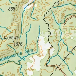
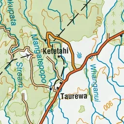
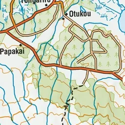
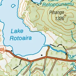
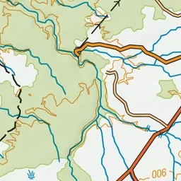
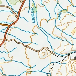
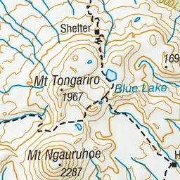
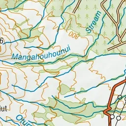
Pink: the track. Orange: huts. Blue: campsites.
About the track
Trek across a volcanic alpine landscape of dramatic contrasts. From May to October, alpine skills are essential for this track – it's best to go with a guide.
Huts on or near the track
- Mangatepopo Hut (1187 m, bookable)
Campsites
- Mangatepopo Campsite (1186 m)
Tongariro Alpine Crossing on DOC's website, for track alerts, bookings and closures.