 Ridgeflow
Tongariro River Trail
Waikato · New Zealand
Distance14.5 km (9 mi)along the line
Climb99 m (325 ft)125 m (410 ft) down
High point418 m (1,371 ft)lowest 376 m (1,234 ft)
DOC's time2 - 3 hoursas DOC publishes it
Walking time3 h 47 minone way, moving, our estimate
GradeEasyDOC
Elevation profile
Map
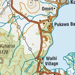
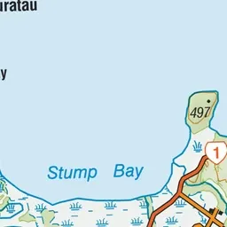
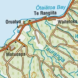
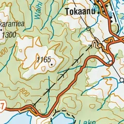
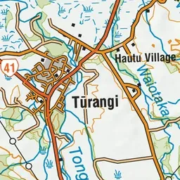
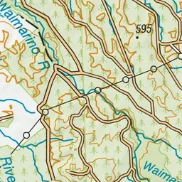
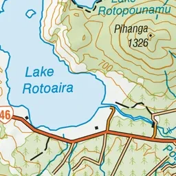
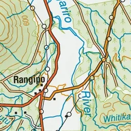
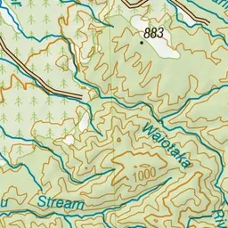
Pink: the track.
About the track
Follow the banks of the Tongariro River alongside farmland, through native bush and urban areas, enjoying magnificent river views. An easy, mainly flat track with multiple entry points - a great family friendly option.
Tongariro River Trail on DOC's website, for track alerts, bookings and closures.