 Ridgeflow
Tōtaranui to Awaroa Bay
Tasman · New Zealand
Distance6.4 km (4 mi)all 5 sections
Climb132 m (433 ft)130 m (427 ft) down
High point95 m (312 ft)lowest 0 m (0 ft)
DOC's time2 hr one wayas DOC publishes it
GradeIntermediateDOC
This track is mapped in 5 separate sections, so there is no single profile or walking time. Climb is added up section by section.
Map
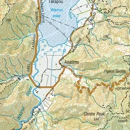
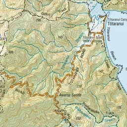

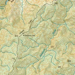
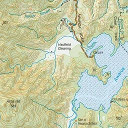
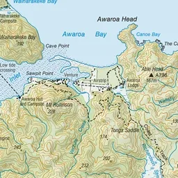
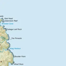
Pink: the track. Orange: huts. Blue: campsites.
About the track
For a more adventurous day walk, head south from Tōtaranui to Awaroa Bay, crossing the tidal Awaroa inlet. There is the option to return via water taxi.
Huts on or near the track
- Awaroa Hut (9 m, bookable)
Campsites
- Waiharakeke Bay Campsite (10 m)
- Awaroa Campsite (13 m)
Tōtaranui to Awaroa Bay on DOC's website, for track alerts, bookings and closures.