 Ridgeflow
Travers-Sabine Circuit
Tasman · New Zealand
Distance84.6 km (52.5 mi)all 8 sections
Climb2,993 m (9,820 ft)2,850 m (9,350 ft) down
High point1,797 m (5,896 ft)lowest 458 m (1,503 ft)
DOC's time4 - 7 daysas DOC publishes it
GradeAdvancedDOC
This track is mapped in 8 separate sections, so there is no single profile or walking time. Climb is added up section by section.
Map
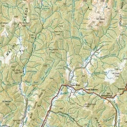
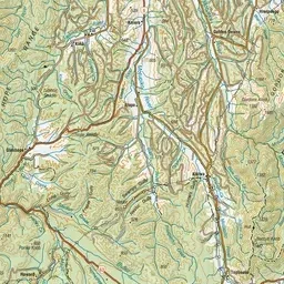
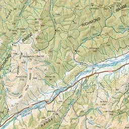
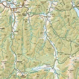
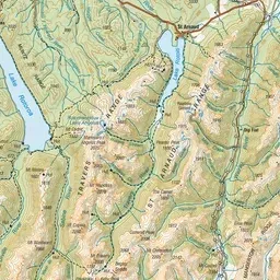
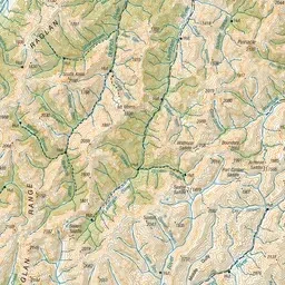
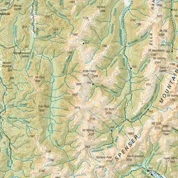
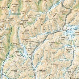
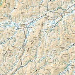
Pink: the track. Orange: huts. Blue: campsites.
About the track
Experience tranquil beech forests, fields of waving tussocks, 2000‑m‑high mountains, and clear rushing streams in the heart of the mountains of Nelson Lakes National Park. This track is part of Te Araroa Trail.
Huts on or near the track
- John Tait Hut (811 m, bookable)
- Sabine Hut (455 m, bookable)
- West Sabine Hut (679 m, bookable)
- Upper Travers Hut (1323 m, bookable)
- Speargrass Hut (1073 m, bookable)
- Coldwater Hut (626 m)
- Lakehead Hut (620 m, bookable)
Campsites
- Kerr Bay Campsite (631 m)
Travers-Sabine Circuit on DOC's website, for track alerts, bookings and closures.