 Ridgeflow
Tree Trunk Gorge tracks
Waikato · New Zealand
Distance10.3 km (6.4 mi)along the line
Climb326 m (1,070 ft)250 m (820 ft) down
High point822 m (2,697 ft)lowest 649 m (2,129 ft)
DOC's time1 hr 30 minas DOC publishes it
Walking time3 h 7 minone way, moving, our estimate
GradeAdvancedDOC
Elevation profile
Map
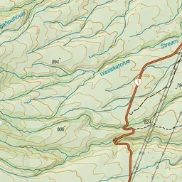
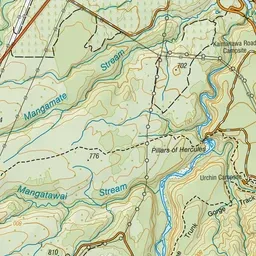
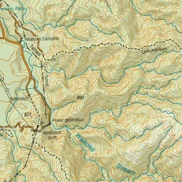
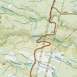
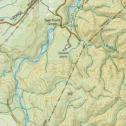
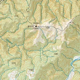
Pink: the track. Blue: campsites.
About the track
Walk or mountain bike through the Kaimanawa Forest Park taking in two spectacular gorges, and the characteristic beech and kamahi forest.
Campsites
- Urchin Campsite (701 m)
Tree Trunk Gorge tracks on DOC's website, for track alerts, bookings and closures.