 Ridgeflow
Trounson Kauri Park Loop Track
Northland · New Zealand
Distance1.7 km (1.1 mi)along the line
Climb9 m (30 ft)10 m (33 ft) down
High point249 m (817 ft)lowest 239 m (784 ft)
DOC's time40 minas DOC publishes it
Walking time26 minone way, moving, our estimate
GradeEasiestDOC
Elevation profile
Map
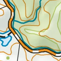
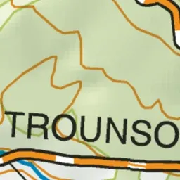
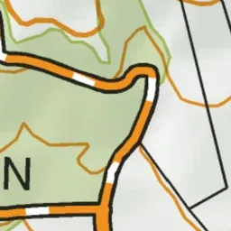
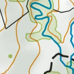
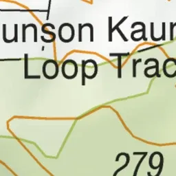
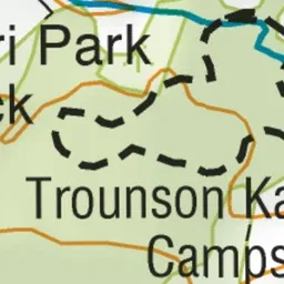
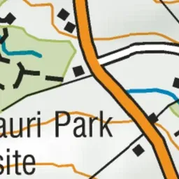
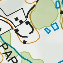
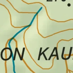
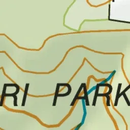
Pink: the track. Blue: campsites.
About the track
Walk through a spectacular stand of kauri and experience the unique character of this ancient forest by day or night.
Campsites
- Trounson Kauri Park Campground (240 m)
Trounson Kauri Park Loop Track on DOC's website, for track alerts, bookings and closures.