 Ridgeflow
Tuhoto Ariki Trail
Bay of Plenty · New Zealand
Distance3.5 km (2.2 mi)along the line
Climb57 m (187 ft)178 m (584 ft) down
High point757 m (2,484 ft)lowest 637 m (2,090 ft)
DOC's time1 hr 30 minas DOC publishes it
Walking time59 minone way, moving, our estimate
GradeAdvancedDOC
Elevation profile
Map
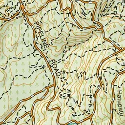
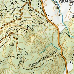
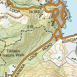
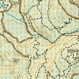
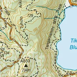
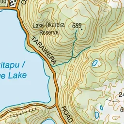
Pink: the track. Green dot: the start.
About the track
Specifically designed dual use trail through native bush with great downhills and some decent climbs for the mountain bikers. Starts from the highest point in Whakarewarewa Forest.
Tuhoto Ariki Trail on DOC's website, for track alerts, bookings and closures.