 Ridgeflow
Turnbulls Tramping Track
Southland · New Zealand
Distance11.3 km (7 mi)along the line
Climb462 m (1,516 ft)311 m (1,020 ft) down
High point434 m (1,424 ft)lowest 108 m (354 ft)
DOC's time4-5 hras DOC publishes it
Walking time3 h 36 minone way, moving, our estimate
GradeAdvancedDOC
Elevation profile
Map
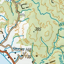
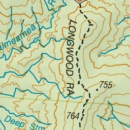
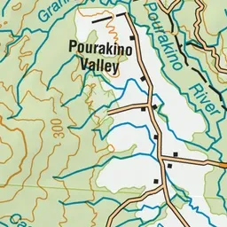
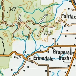
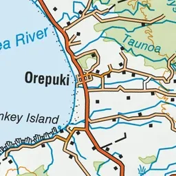
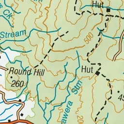
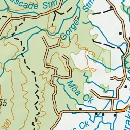
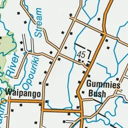
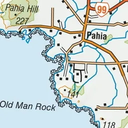
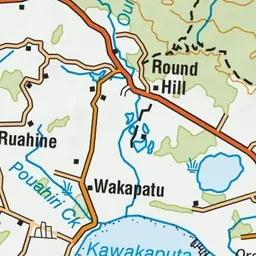
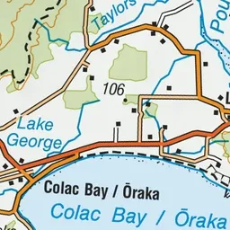
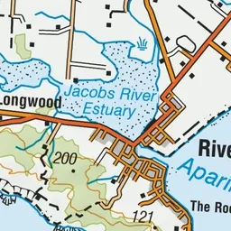
Pink: the track. Green dot: the start. Orange: huts.
About the track
A challenging hiking track through the beautiful, mossy Longwoods forest. Keep an eye out for the historic Turnbull’s Hut, a relic from the gold mining era. This track is part of Te Araroa Trail.
Huts on or near the track
- Turnbull's (Big Dam) Hut (308 m)
- Martin's Hut (390 m)
Turnbulls Tramping Track on DOC's website, for track alerts, bookings and closures.