 Ridgeflow
Tūtira Walkway
Hawke's Bay · New Zealand
Distance7.1 km (4.4 mi)along the line
Climb245 m (804 ft)424 m (1,391 ft) down
High point491 m (1,611 ft)lowest 160 m (525 ft)
DOC's time2 hr or 5 hr via Gailbraith's Track or 4.5 hr viaas DOC publishes it
Walking time2 h 11 minone way, moving, our estimate
GradeEasyDOC
Elevation profile
Map
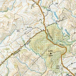
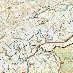
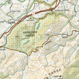
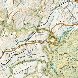
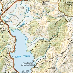
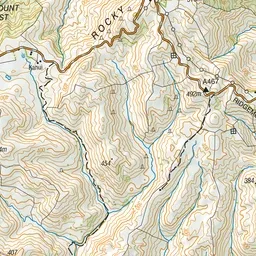
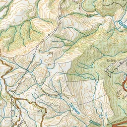
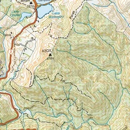
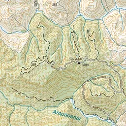
Pink: the track.
About the track
Discover magnificent views of the Tūtira Station and the adjoining Lake Tūtira Recreation Reserve as you walk along the Tūtira Walkway.
Tūtira Walkway on DOC's website, for track alerts, bookings and closures.