 Ridgeflow
Tūtoko Valley Route
Southland · New Zealand
Distance6.5 km (4 mi)along the line
Climb218 m (715 ft)0 m (0 ft) down
High point257 m (843 ft)lowest 39 m (128 ft)
DOC's time5 hr return via same trackas DOC publishes it
Walking time1 h 59 minone way, moving, our estimate
GradeExpertDOC
Elevation profile
Map
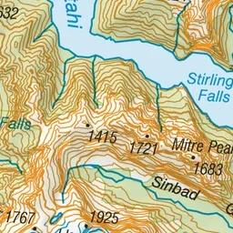
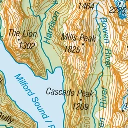
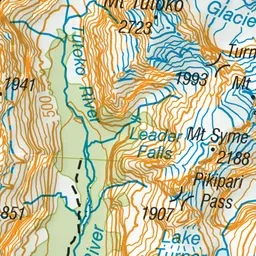
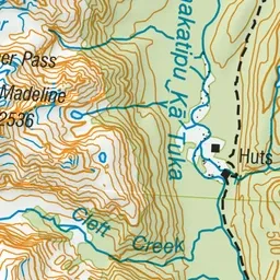
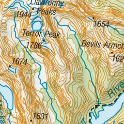
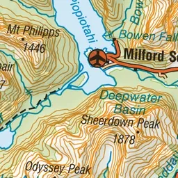
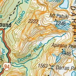
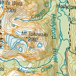
Pink: the track. Green dot: the start.
About the track
This challenging hiking route leads up the Tūtoko river valley through beech forest and open flats under impressive Fiordland mountain peaks.
Tūtoko Valley Route on DOC's website, for track alerts, bookings and closures.