 Ridgeflow
Tutukaka Head tracks
Northland · New Zealand
Distance1.3 km (0.8 mi)along the line
Climb44 m (144 ft)94 m (308 ft) down
High point59 m (194 ft)lowest 1 m (3 ft)
DOC's time1 hras DOC publishes it
Walking time24 minone way, moving, our estimate
GradeEasyDOC
Elevation profile
Map
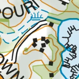


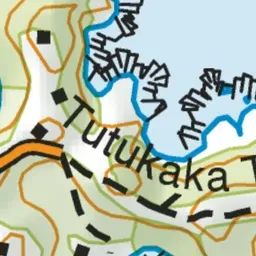
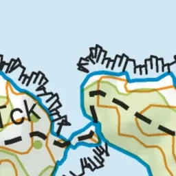
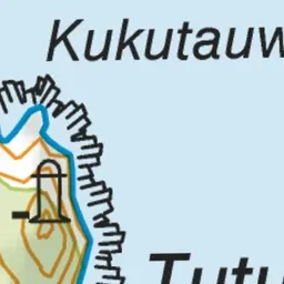

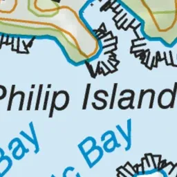


Pink: the track.
About the track
This short, easy walk leads to the coast and a lighthouse - it's a great option for kids.
Tutukaka Head tracks on DOC's website, for track alerts, bookings and closures.