 Ridgeflow
Ulva Island/Te Wharawhara walking tracks
Southland · New Zealand
Distance4 km (2.5 mi)all 7 sections
Climb105 m (344 ft)121 m (397 ft) down
High point43 m (141 ft)lowest 2 m (7 ft)
DOC's timeVarious: 20 min to 2 hr returnas DOC publishes it
GradeEasiest, EasyDOC
This track is mapped in 7 separate sections, so there is no single profile or walking time. Climb is added up section by section.
Map

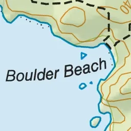
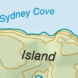
Pink: the track.
About the track
Visit iconic Ulva Island/Te Wharawhara, the jewel of Rakiura National Park. Sample the delights of this open sanctuary via a series of well-formed tracks catering for all ages and levels of fitness.
Ulva Island/Te Wharawhara walking tracks on DOC's website, for track alerts, bookings and closures.