 Ridgeflow
Union Creek Track
West Coast · New Zealand
Distance1.8 km (1.1 mi)along the line
Climb181 m (594 ft)76 m (249 ft) down
High point629 m (2,064 ft)lowest 495 m (1,624 ft)
DOC's time1.5 hras DOC publishes it
Walking time45 minone way, moving, our estimate
GradeEasyDOC
Elevation profile
Map
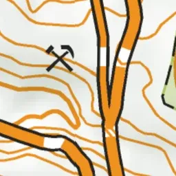
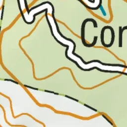
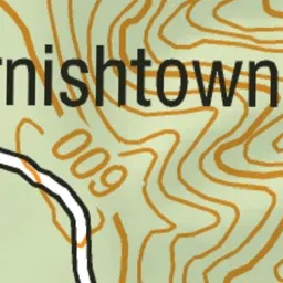
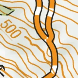
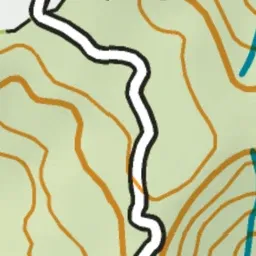
Pink: the track. Green dot: the start.
About the track
Visit Union Creek rock stack. A landform that consists of excess rock from mining operations. It's contoured and planted with native vegetation to mimic the surrounding landscape.
Union Creek Track on DOC's website, for track alerts, bookings and closures.