 Ridgeflow
Upper Clutha River Track
Otago · New Zealand
Distance18.2 km (11.3 mi)along the line
Climb88 m (289 ft)108 m (354 ft) down
High point327 m (1,073 ft)lowest 260 m (853 ft)
DOC's time5 - 5 hr 30 minas DOC publishes it
Walking time4 h 41 minone way, moving, our estimate
GradeEasyDOC
Elevation profile
Map
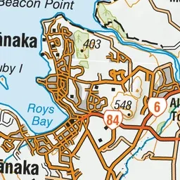
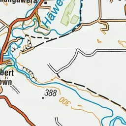
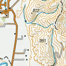
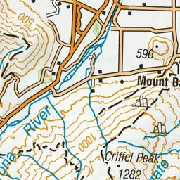
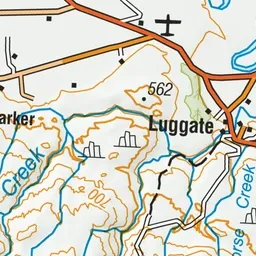
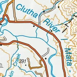
Pink: the track.
About the track
Walk or cycle along the banks of the Clutha River near Lake Wānaka.
Upper Clutha River Track on DOC's website, for track alerts, bookings and closures.