 Ridgeflow
Upper Copland Valley Track
West Coast · New Zealand
Distance23 km (14.3 mi)all 5 sections
Climb968 m (3,176 ft)274 m (899 ft) down
High point741 m (2,431 ft)lowest 42 m (138 ft)
DOC's time3 days +as DOC publishes it
GradeAdvanced, ExpertDOC
This track is mapped in 5 separate sections, so there is no single profile or walking time. Climb is added up section by section.
Map

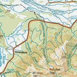
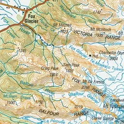
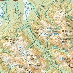
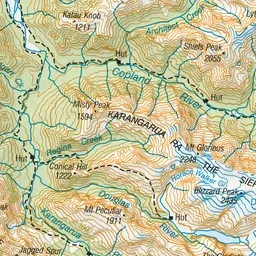
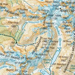
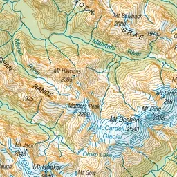
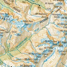
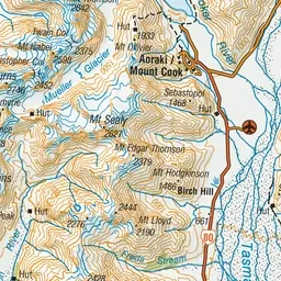
Pink: the track. Orange: huts. Blue: campsites.
About the track
The Upper Copland Valley Track provides access to Douglas Rock Hut. It is suitable for well-equipped and experienced backcountry hikers and mountaineers only.
Huts on or near the track
- Douglas Rock Hut (733 m)
- Welcome Flat Hut (427 m, bookable)
- Architect Creek Hut (106 m)
Campsites
- Welcome Flat Campsite (423 m)
Upper Copland Valley Track on DOC's website, for track alerts, bookings and closures.