 Ridgeflow
Urchin to Umukarikari (U2U) track
Waikato · New Zealand
Distance5.7 km (3.6 mi)along the line
Climb151 m (495 ft)308 m (1,010 ft) down
High point1,494 m (4,902 ft)lowest 1,245 m (4,085 ft)
DOC's time8 hr 30 min - 10 hras DOC publishes it
Walking time1 h 41 minone way, moving, our estimate
GradeAdvancedDOC
Elevation profile
Map
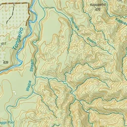
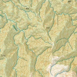
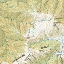
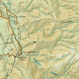
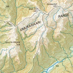
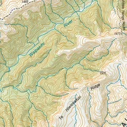
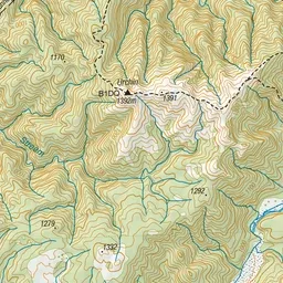
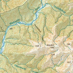
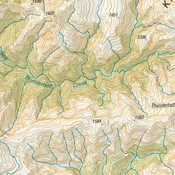
Pink: the track. Green dot: the start.
About the track
This track leads from Urchin to the Umukarikari Range, with good alpine views.
Urchin to Umukarikari (U2U) track on DOC's website, for track alerts, bookings and closures.