 Ridgeflow
Urupukapuka Island Walk
Northland · New Zealand
Distance11.6 km (7.2 mi)all 36 sections
Climb358 m (1,175 ft)431 m (1,414 ft) down
High point99 m (325 ft)lowest 3 m (10 ft)
DOC's time5 hras DOC publishes it
GradeEasyDOC
This track is mapped in 36 separate sections, so there is no single profile or walking time. Climb is added up section by section.
Map
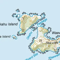
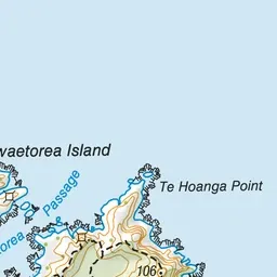

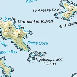
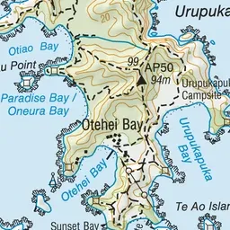
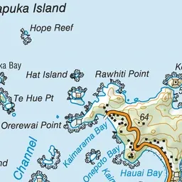
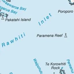
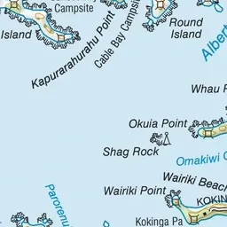
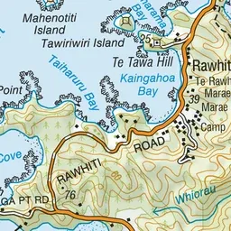
Pink: the track. Blue: campsites.
About the track
This walk around Urupukupuka Island features great views - it's suitable for older children.
Campsites
- Cable Bay Campsite (8 m)
- Sunset Bay Campsite (16 m)
- Urupukapuka Bay Campsite (5 m)
Urupukapuka Island Walk on DOC's website, for track alerts, bookings and closures.