 Ridgeflow
View Hill to Mt Oxford Track
Canterbury · New Zealand
Distance5.7 km (3.5 mi)along the line
Climb130 m (427 ft)883 m (2,897 ft) down
High point1,341 m (4,400 ft)lowest 589 m (1,932 ft)
DOC's time4 hras DOC publishes it
Walking time1 h 54 minone way, moving, our estimate
GradeAdvancedDOC
Elevation profile
Map
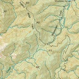
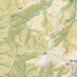
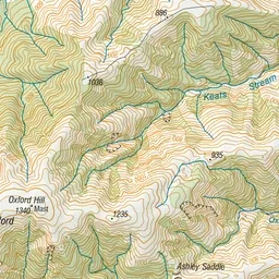
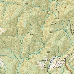
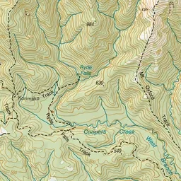
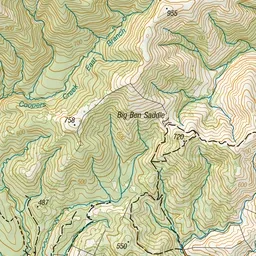
Pink: the track. Green dot: the start.
About the track
Follow the ridge through forest and tussock to get to the summit of Mt Oxford with good views of the Canterbury Plains and into Lees Valley.
View Hill to Mt Oxford Track on DOC's website, for track alerts, bookings and closures.