 Ridgeflow
Waiau Pass Route (Blue Lake Route to Lewis Pass)
West Coast · New Zealand
Distance64.8 km (40.3 mi)all 6 sections
Climb1,789 m (5,869 ft)1,452 m (4,764 ft) down
High point1,864 m (6,115 ft)lowest 721 m (2,365 ft)
DOC's time8-10 days for full tripas DOC publishes it
GradeExpertDOC
This track is mapped in 6 separate sections, so there is no single profile or walking time. Climb is added up section by section.
Map
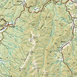
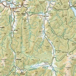
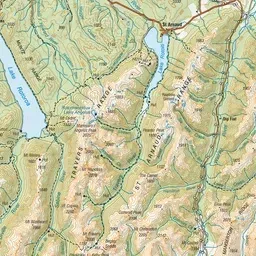
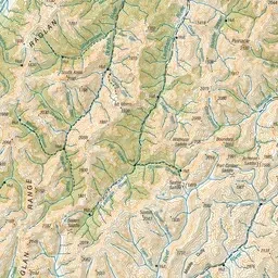
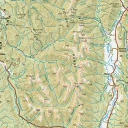
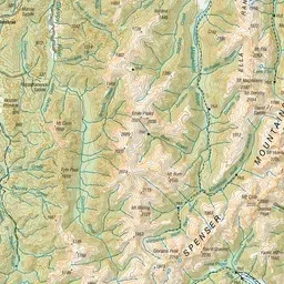
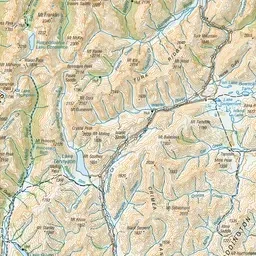
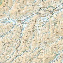
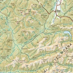
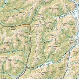
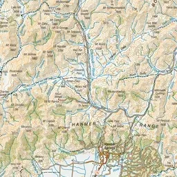
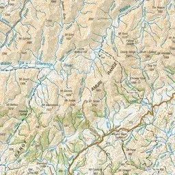
Pink: the track. Orange: huts.
About the track
Waiau Pass Route is a very technical alpine crossing, suitable for highly experienced parties only. It links Lewis Pass and Nelson Lakes National Park. This track is part of Te Araroa Trail.
Huts on or near the track
- Christopher Hut (801 m, bookable)
- Cannibal Gorge Hut (900 m, bookable)
- Blue Lake Hut (1185 m, bookable)
- Christopher (Ada) Cullers Hut (805 m)
- Waiau Hut (859 m)
- Ada Pass Hut (1000 m, bookable)
Waiau Pass Route (Blue Lake Route to Lewis Pass) on DOC's website, for track alerts, bookings and closures.