 Ridgeflow
Waihāhā and Waihora tracks
Waikato · New Zealand
Distance24.4 km (15.1 mi)along the line
Climb620 m (2,034 ft)731 m (2,398 ft) down
High point537 m (1,762 ft)lowest 362 m (1,188 ft)
DOC's time3 hr 30 min | 4 hras DOC publishes it
Walking time7 h 7 minone way, moving, our estimate
GradeEasyDOC
Elevation profile
Map
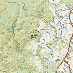
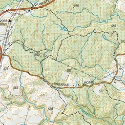
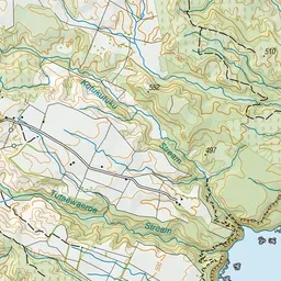
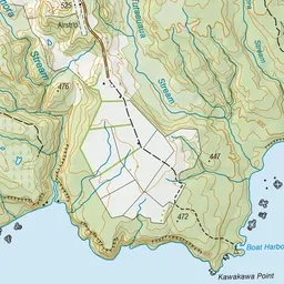
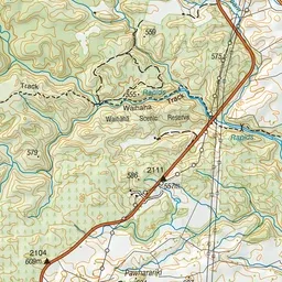
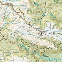
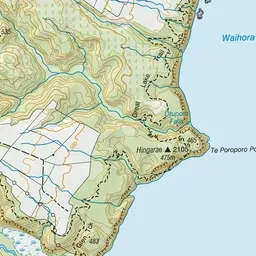

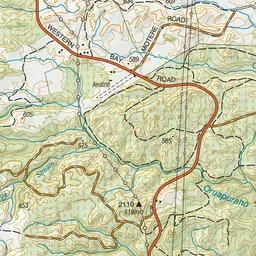
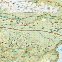
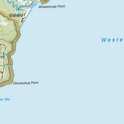

Pink: the track. Green dot: the start.
About the track
Explore the remote bush, cliffs and waterfalls of the Western Bays of Lake Taupō. Normally accessible only by boat, these trails take you through a variety of landscapes with fantastic lookout points.
Waihāhā and Waihora tracks on DOC's website, for track alerts, bookings and closures.