 Ridgeflow
Waikanae Link Track
Wellington · New Zealand
Distance1.8 km (1.1 mi)along the line
Climb0 m (0 ft)15 m (49 ft) down
High point17 m (56 ft)lowest 2 m (7 ft)
DOC's time20 min one wayas DOC publishes it
Walking time27 minone way, moving, our estimate
GradeEasiestDOC
Elevation profile
Map

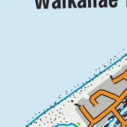
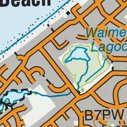
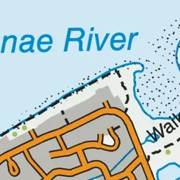
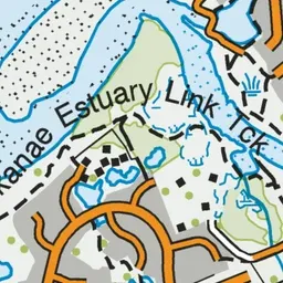
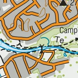
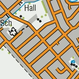
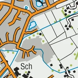

Pink: the track. Green dot: the start.
About the track
Walk through Waikanae Estuary Scientific Reserve on this easy track. The reserve provides native habitat for wildlife moving between the mountains, river, and sea. It is part of the Te Araroa Trail.
Waikanae Link Track on DOC's website, for track alerts, bookings and closures.