 Ridgeflow
Waimā Main Range Track
Northland · New Zealand
Distance14.1 km (8.8 mi)along the line
Climb754 m (2,474 ft)586 m (1,923 ft) down
High point776 m (2,546 ft)lowest 485 m (1,591 ft)
DOC's time10 hr one wayas DOC publishes it
Walking time4 h 47 minone way, moving, our estimate
GradeAdvancedDOC
Elevation profile
Map
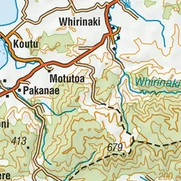
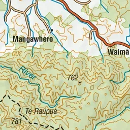
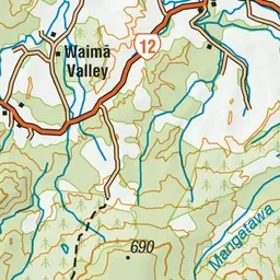
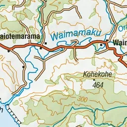
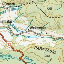
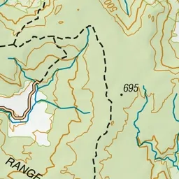
Pink: the track. Green dot: the start.
About the track
This rugged and challenging track passes over some of Northland's highest points and offers occasional views over the surrounding forest and mountain range. Listen to Kokako around the Oraora Saddle.
Waimā Main Range Track on DOC's website, for track alerts, bookings and closures.