 Ridgeflow
Waimamaku Coastal Track
Northland · New Zealand
Distance9.5 km (5.9 mi)along the line
Climb146 m (479 ft)171 m (561 ft) down
High point45 m (148 ft)lowest 0 m (0 ft)
DOC's time4 hras DOC publishes it
Walking time2 h 37 minone way, moving, our estimate
GradeEasyDOC
Elevation profile
Map
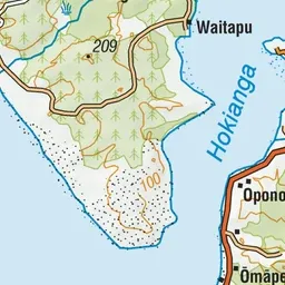
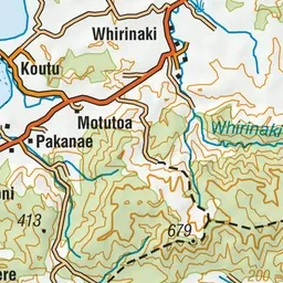
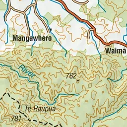

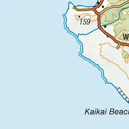
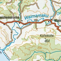
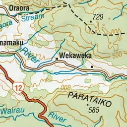


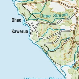
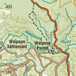
Pink: the track. Green dot: the start.
About the track
Discover wide open beaches and rocky headlands on the rugged coastline between the Hokianga Harbour and the majestic Waimamaku River.
Waimamaku Coastal Track on DOC's website, for track alerts, bookings and closures.