 Ridgeflow
Waingongoro Hut tracks
Taranaki · New Zealand
Distance3.5 km (2.2 mi)all 4 sections
Climb238 m (781 ft)173 m (568 ft) down
High point1,041 m (3,415 ft)lowest 820 m (2,690 ft)
DOC's time1 hr 30 min one wayas DOC publishes it
GradeAdvancedDOC
This track is mapped in 4 separate sections, so there is no single profile or walking time. Climb is added up section by section.
Map
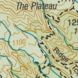
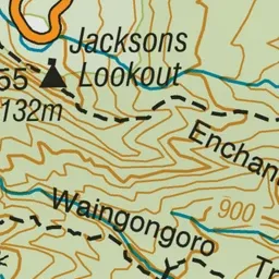
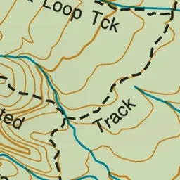
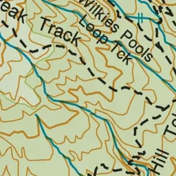
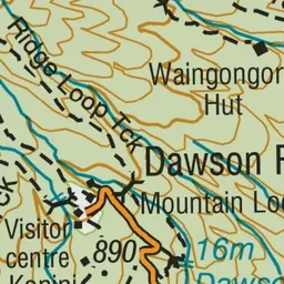
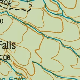
Pink: the track. Orange: huts.
About the track
Waingongoro Hut is a good overnight hike for families with children and new hikers - walk through goblin forest, stop for a swim in lava-formed pools, and cross the highest swing bridge in Te Papa-Kura-o-Taranaki.
Huts on or near the track
- Waingongoro Hut (859 m)
Waingongoro Hut tracks on DOC's website, for track alerts, bookings and closures.