 Ridgeflow
Wairake Track
Waikato · New Zealand
Distance3.3 km (2 mi)along the line
Climb0 m (0 ft)532 m (1,745 ft) down
High point729 m (2,392 ft)lowest 198 m (650 ft)
DOC's time2-3 hr one wayas DOC publishes it
Walking time59 minone way, moving, our estimate
GradeAdvancedDOC
Elevation profile
Map
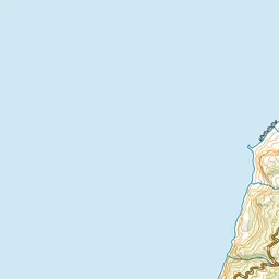
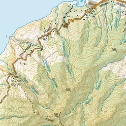
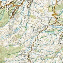
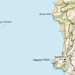
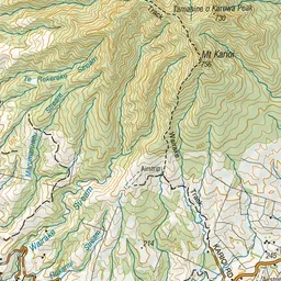
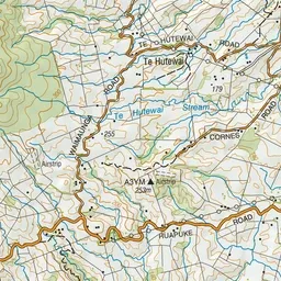
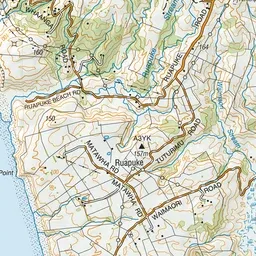
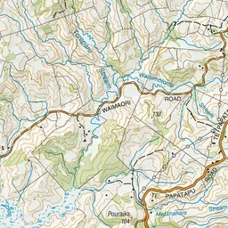
Pink: the track. Green dot: the start.
About the track
This is the shorter and less steep route to the summit of Mt Karioi. The track crosses private farmland before climbing through native bush.
Wairake Track on DOC's website, for track alerts, bookings and closures.