 Ridgeflow
Wairere Falls Track
Waikato · New Zealand
Distance2.8 km (1.7 mi)along the line
Climb381 m (1,250 ft)76 m (249 ft) down
High point421 m (1,381 ft)lowest 40 m (131 ft)
DOC's time3–4 hr return via same trackas DOC publishes it
Walking time1 h 20 minone way, moving, our estimate
GradeEasyDOC
Elevation profile
Map
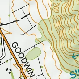
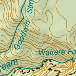
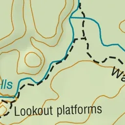
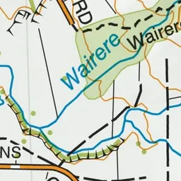
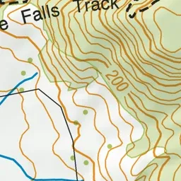
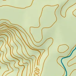
Pink: the track. Green dot: the start.
About the track
Wairere Falls Track weaves its way through moss covered rocks and tree roots. Large round boulders form natural pools and cascading waterfalls.
Wairere Falls Track on DOC's website, for track alerts, bookings and closures.