 Ridgeflow
Waitahu - Murray Connecting Track
West Coast · New Zealand
Distance2.5 km (1.6 mi)along the line
Climb10 m (33 ft)308 m (1,010 ft) down
High point565 m (1,854 ft)lowest 260 m (853 ft)
DOC's time2-3 daysas DOC publishes it
Walking time41 minone way, moving, our estimate
GradeAdvancedDOC
Elevation profile
Map
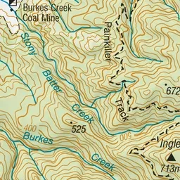
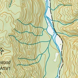
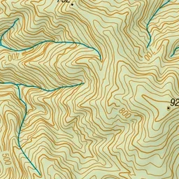
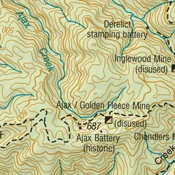
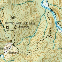
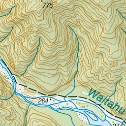
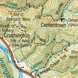
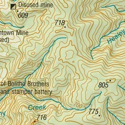
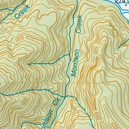
Pink: the track. Green dot: the start.
About the track
This historic pack track links Murray Creek with Waitahu valley. It's part of a popular mountain biking circuit.
Waitahu - Murray Connecting Track on DOC's website, for track alerts, bookings and closures.