 Ridgeflow
Waitawheta Tramway
Waikato · New Zealand
Distance9.9 km (6.2 mi)all 3 sections
Climb236 m (774 ft)12 m (39 ft) down
High point369 m (1,211 ft)lowest 159 m (522 ft)
DOC's time8 hr (return), 3-4 hrs one wayas DOC publishes it
GradeIntermediateDOC
This track is mapped in 3 separate sections, so there is no single profile or walking time. Climb is added up section by section.
Map
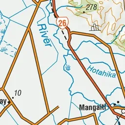
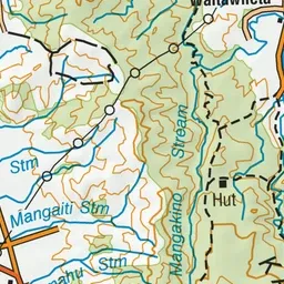
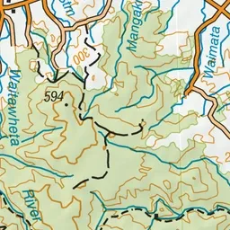
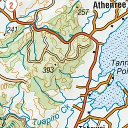
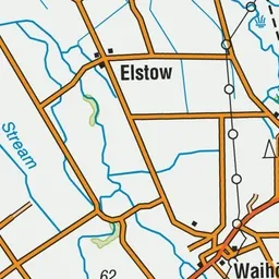
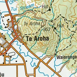
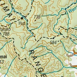
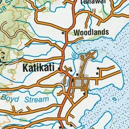
Pink: the track. Orange: huts.
About the track
Follow an old tramline (1898 - 1928) on a relatively flat track through the spectacular Waitawheta Gorge - with interpretation panels as well, it's a great option for kids.
Huts on or near the track
- Waitawheta Hut (367 m, bookable)
Waitawheta Tramway on DOC's website, for track alerts, bookings and closures.