 Ridgeflow
Waitewaewae Hut Track
Wellington · New Zealand
Distance9.8 km (6.1 mi)along the line
Climb683 m (2,241 ft)539 m (1,768 ft) down
High point541 m (1,775 ft)lowest 104 m (341 ft)
DOC's time5 - 7 hr one wayas DOC publishes it
Walking time3 h 36 minone way, moving, our estimate
GradeAdvancedDOC
Elevation profile
Map
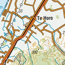
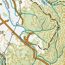
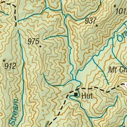
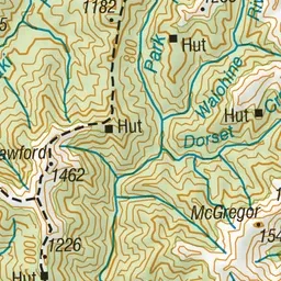
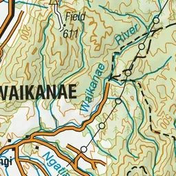
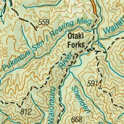
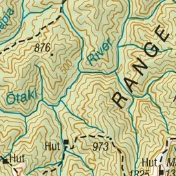
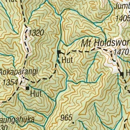
Pink: the track. Green dot: the start. Orange: huts.
About the track
The track to Waitewaewae Hut crosses a terrace above the Otaki River, before entering the bush to follow an old tramway and criss-cross several creeks. This track is part of Te Araroa Trail.
Huts on or near the track
- Parawai Lodge (97 m)
- Waitewaewae Hut (303 m)
Waitewaewae Hut Track on DOC's website, for track alerts, bookings and closures.