 Ridgeflow
Waitomo Walkway
Waikato · New Zealand
Distance3.8 km (2.4 mi)along the line
Climb79 m (259 ft)68 m (223 ft) down
High point112 m (367 ft)lowest 57 m (187 ft)
DOC's time1 hr 15 min one wayas DOC publishes it
Walking time1 h 6 minone way, moving, our estimate
GradeEasyDOC
Elevation profile
Map
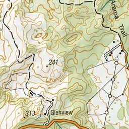
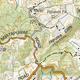
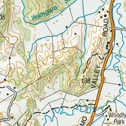
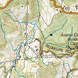
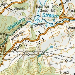
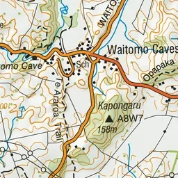
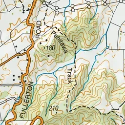
Pink: the track.
About the track
The Waitomo Walkway traverses a classic limestone landscape and meanders beside the Waitomo Stream through forest and open farmland. This track is part of Te Araroa Trail.
Waitomo Walkway on DOC's website, for track alerts, bookings and closures.