 Ridgeflow
Waitonga Falls Track
Manawatū-Whanganui · New Zealand
Distance2.2 km (1.4 mi)along the line
Climb169 m (554 ft)107 m (351 ft) down
High point1,252 m (4,108 ft)lowest 1,150 m (3,773 ft)
DOC's time1 hr 20 minas DOC publishes it
Walking time50 minone way, moving, our estimate
GradeEasyDOC
Elevation profile
Map
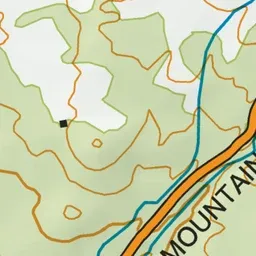
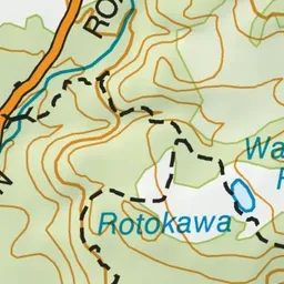
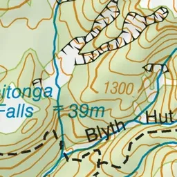
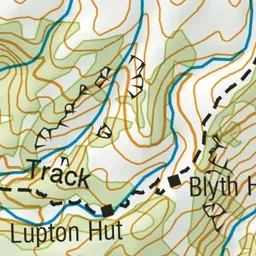
Pink: the track. Green dot: the start.
About the track
The 39 m Waitonga Falls is Tongariro National Park’s highest waterfall. The well-formed track passes through mountain beech and kaikawaka forest.
Waitonga Falls Track on DOC's website, for track alerts, bookings and closures.