 Ridgeflow
Wakamarina Track
Marlborough · New Zealand
Distance20.5 km (12.8 mi)all 2 sections
Climb1,239 m (4,065 ft)1,645 m (5,397 ft) down
High point1,120 m (3,675 ft)lowest 89 m (292 ft)
DOC's time7 hrs (south to north)as DOC publishes it
GradeAdvancedDOC
This track is mapped in 2 separate sections, so there is no single profile or walking time. Climb is added up section by section.
Map
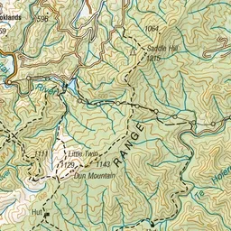
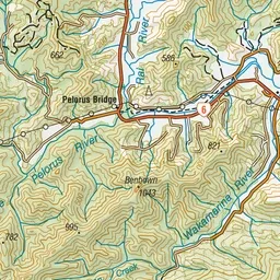
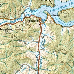
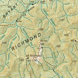
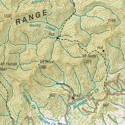
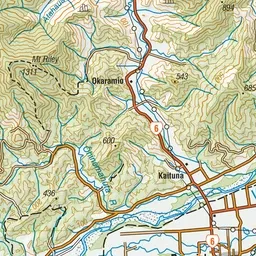
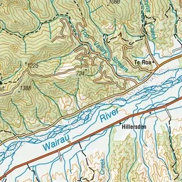
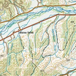
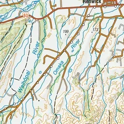
Pink: the track. Orange: huts. Blue: campsites.
About the track
Follow in the footsteps of old goldminers on the Wakamarina Track to cross the Richmond Range from the Wairau Valley to the Wakamarina Valley.
Huts on or near the track
- Devils Creek Hut (218 m)
- Fosters Hut (1121 m)
Campsites
- Butchers Flat Campsite (80 m)
Wakamarina Track on DOC's website, for track alerts, bookings and closures.